close
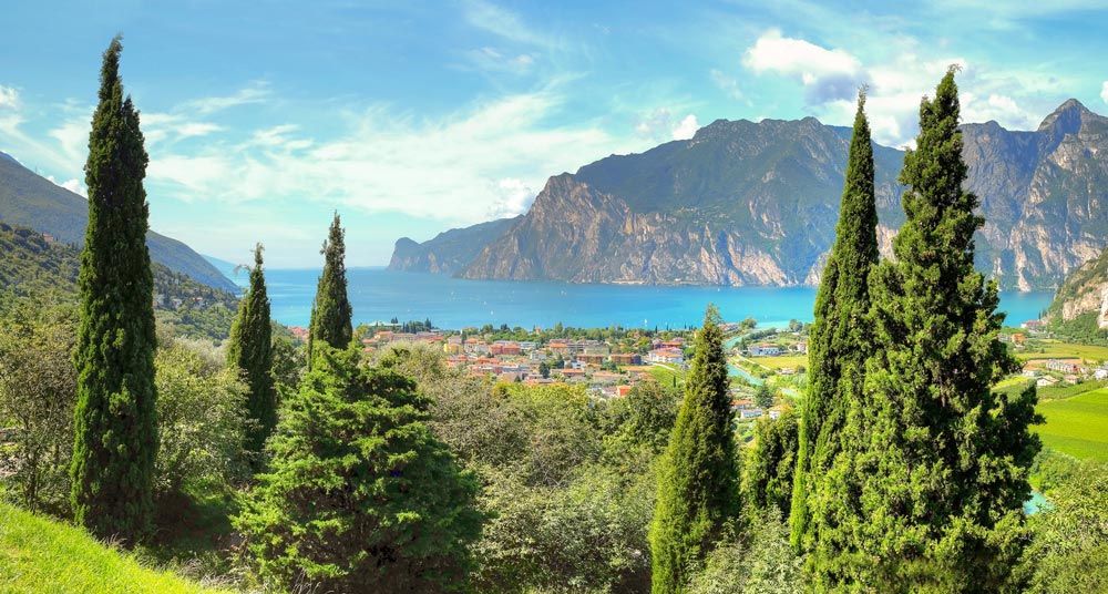
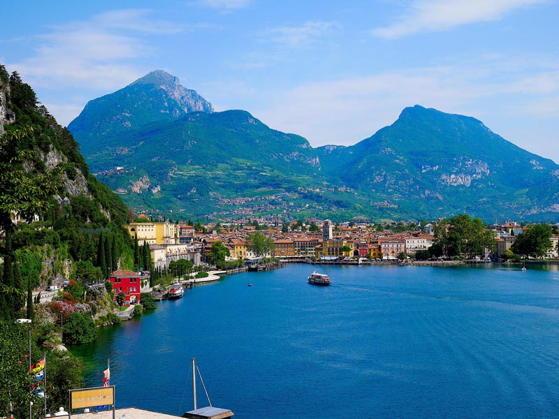
Torbole is located in the northeastern corner of Lake Garda and includes the mouth of Sarca River, its tributary.
To the east, you find the Baldo chain with Mount Altissimo.
In the hinterland, to the north, there is a plain of about 7 km, including Arco.
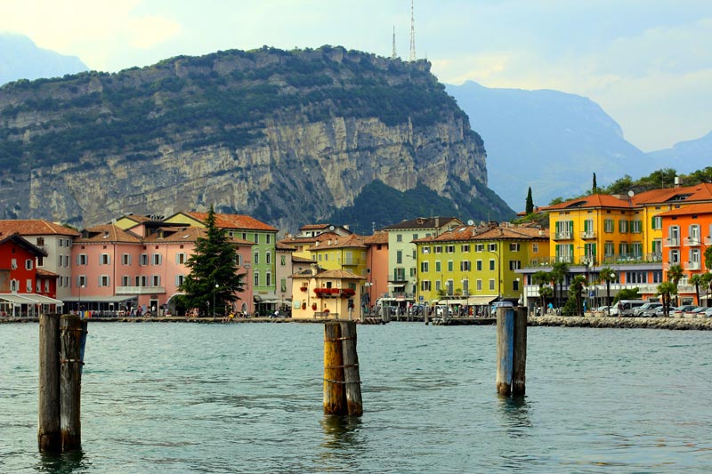
The main road 249 Gardesana Orientale westbound goes along the lake and joins Torbole with Riva del Garda.
Thanks to the protection of the mountains behind it and the thermoregulation action of the lake, the entire plain has a Mediterranean microclimate.
The area of Nago-Torbole, which was part of the Prince-Bishopric of Trento since the XI century, was militarily con-quered by the Venetians in (1439). That year, the Venetians transported, through the Cameràs Valley, an entire fleet (25 boats and 6 galleys) thanks to the operation Galeas per montes: they started from the Adriatic and, sailing up the River Adige, reached the river port of Ravazzone. From there, by force of arms and oxen, they travelled through Mori up to reach Lake Loppio. Through the "Mouth" of Nago, they were lowered to the Garda, at Torbole. It was a giant exploit that went down in the marine history. To carry out this military operation, they used about 2000 oxen and 15.000 ducats. After a defeat in 1439, in April 1440, the small Venetian fleet defeated the Visconti fleet guided by Taliano Furlano, being able to reconquer Riva del Garda. The Venetian rule lasted until 1509 when Nago-Torbole returned to the Prince-Bishopric of Trento.
After the Napoleonic invasion in 1796 and short belongings to the Kingdom of Bavaria and the Kingdom of Italy, Nago-Torbole as well as the entire Trentino region were incorporated into the Austrian Empire.
Nago-Torbole, like the other towns in the area, was completely left during the 1915-1918 war: it was, in fact, in the front line of the Austrian-Italian war. In 1919, it became part of the Kingdom of Italy.
During the 2nd World War, it was annexed to the Third Reich, together with the whole Trentino-Alto Adige region and the province of Belluno. In its galleries of the eastern Garda, they established Messerschmitt AG factories for Luftwaffe, the German Air Force (they even produced parts of V2 rockets).
Forcedly annexed by the fascist regime to the municipality of Riva del Garda, in 1958, the municipality of Nago Tor-bole regained its independence. The postwar period also brought social upheaval: the abandonment of the tradi-tional economy based on agriculture and fishing, replaced by the entrance of the majority of the population in the tourist field.
In 1980, windsurfing reintroduced Torbole on the Garda on the international stage with the organization of the world championship. This experience was followed by the introduction of several paths for mountain biking (in 1991, Mount Brione hosted the world championship).
Lake Garda
The northern part of the lake is located in a depression that creeps in NE-SW in the Alps, while the southern part occupies an area of the upper Po Valley: therefore, there is a valley area, having a narrow and elongated shape, and a piedmont area, wide and semicircular.
A feature of the is the limited size of the catchment area (2,290 square kilometers) compared to the lake surface: a length of 52 km in the lake corresponds to 95 km of the catchment area, while the respective width is 16 km and 42 km. The Eastern watershed of the benacense catchment area has a parallel direction to the axis of the lake, while the West watershed has a more winding course. Within the catchment area, the major peaks are Presanella (3556 m) and Adamello (3554 m), even though most of the area is between 65 and 1500 m.
Morphologically, the catchment area of Garda is divided into four areas: the plain of about 200 square kilometers, the lake surface of about 370 square kilometers, the western part of approximately 500 km² and the east part of about 1040 km².